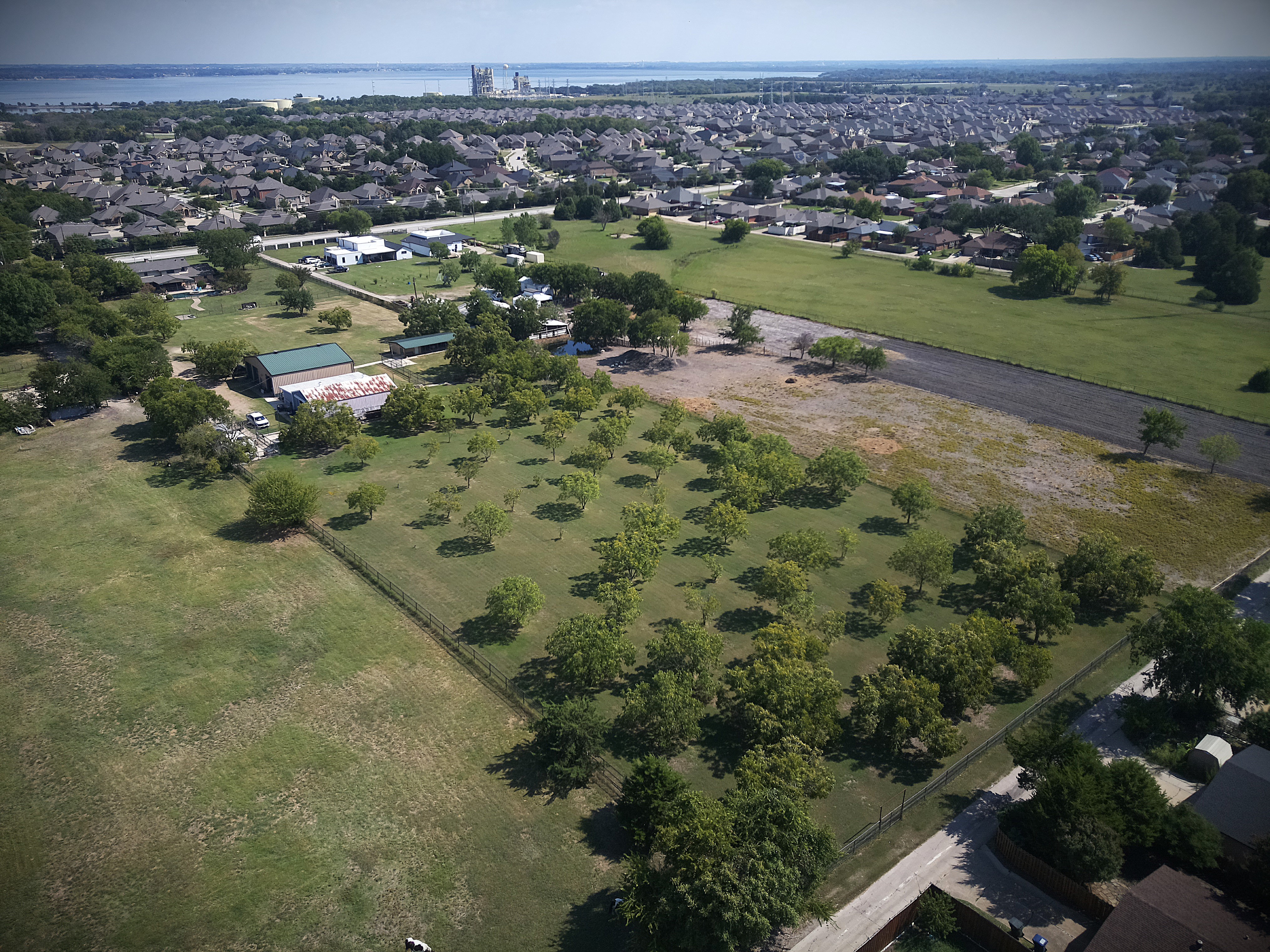
See your fields clearly—without walking every acre.
Fast RGB flyovers, stitched field maps, and simple recaps you can share. Spot problems sooner, plan field walks smarter, and track what’s changing week to week.
What you get after a flight
We keep it simple. After each visit you’ll get a clean field map, key photos, and a quick recap you can text or email to anyone on your team.
Stitched Field Map (RGB)
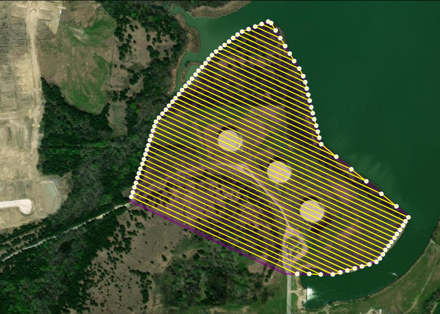
We stitch your photos into a high‑resolution **orthomosaic** so you can see the whole field at once, zoom into problem spots, and mark areas to scout.
Key Photos & Notes
Clear, geotagged images from the same vantage points each visit. We add brief notes so your agronomist or crew knows exactly what to look at next.
Shareable Recap
A one‑page recap with dates, map snapshots, and highlights. Easy to share with partners or staff; no special software needed.
Where it helps right now
Post‑storm checks
Wind lodging, hail damage, downed pivots, fence or edge damage.
Irrigation issues
Blocked emitters, dry bands, pooling, and uneven coverage.
Planting & emergence
Bare spots, planter skips, stand gaps you can verify on foot.
Weed pressure & encroachment
See where weeds are building and track cleanup results over time.
Access & safety
Check hard‑to‑reach corners and perimeter areas safely from the air.
Progress over time
Re‑fly consistent routes for clear before/after comparisons.
How it works
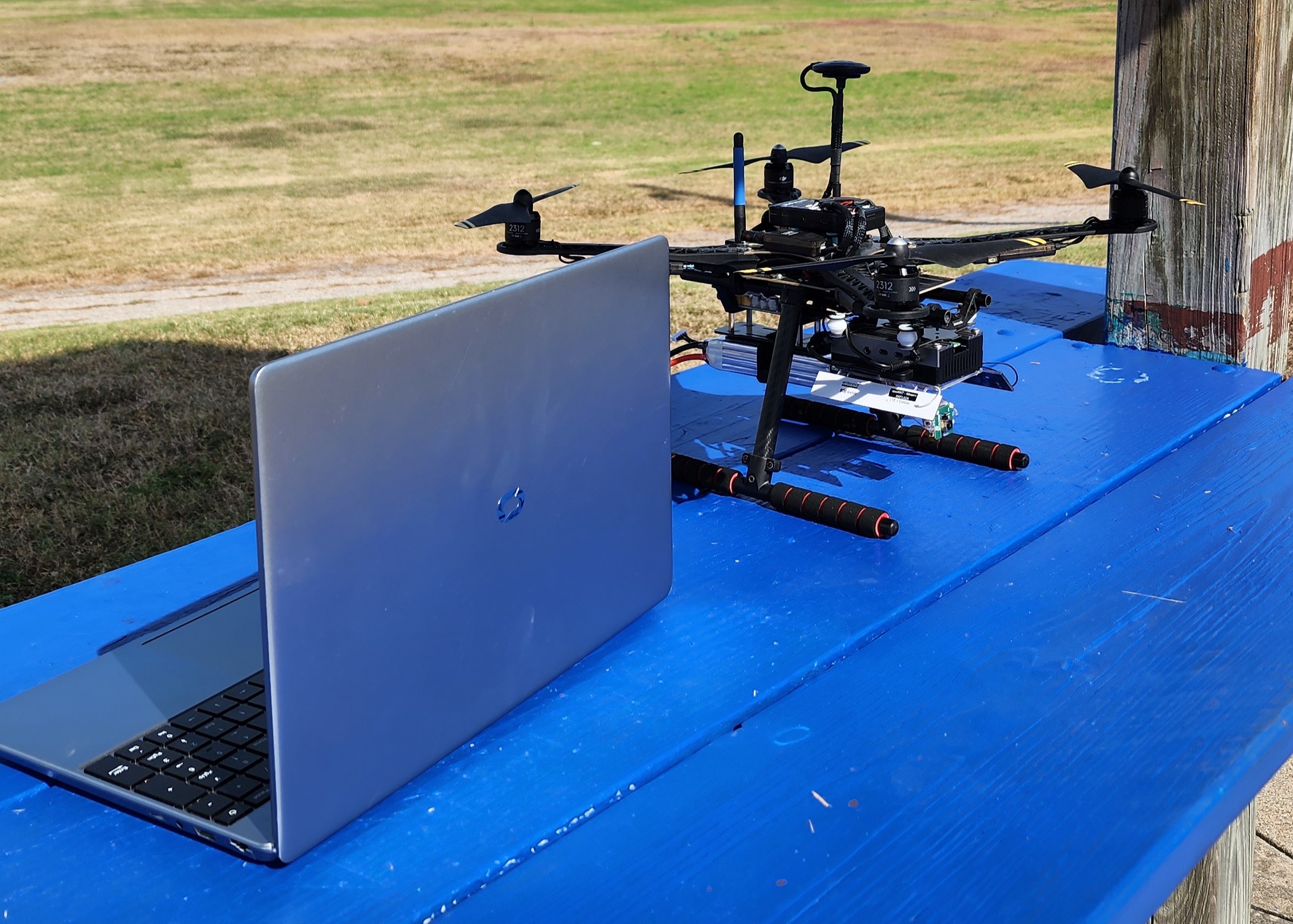
1) Plan & fly
We plan a repeatable route, fly at a consistent height, and capture high‑overlap RGB imagery for your field.
2) Process & map
Images are stitched into an orthomosaic and aligned to standard GPS. We mark areas of interest and prep key photos.
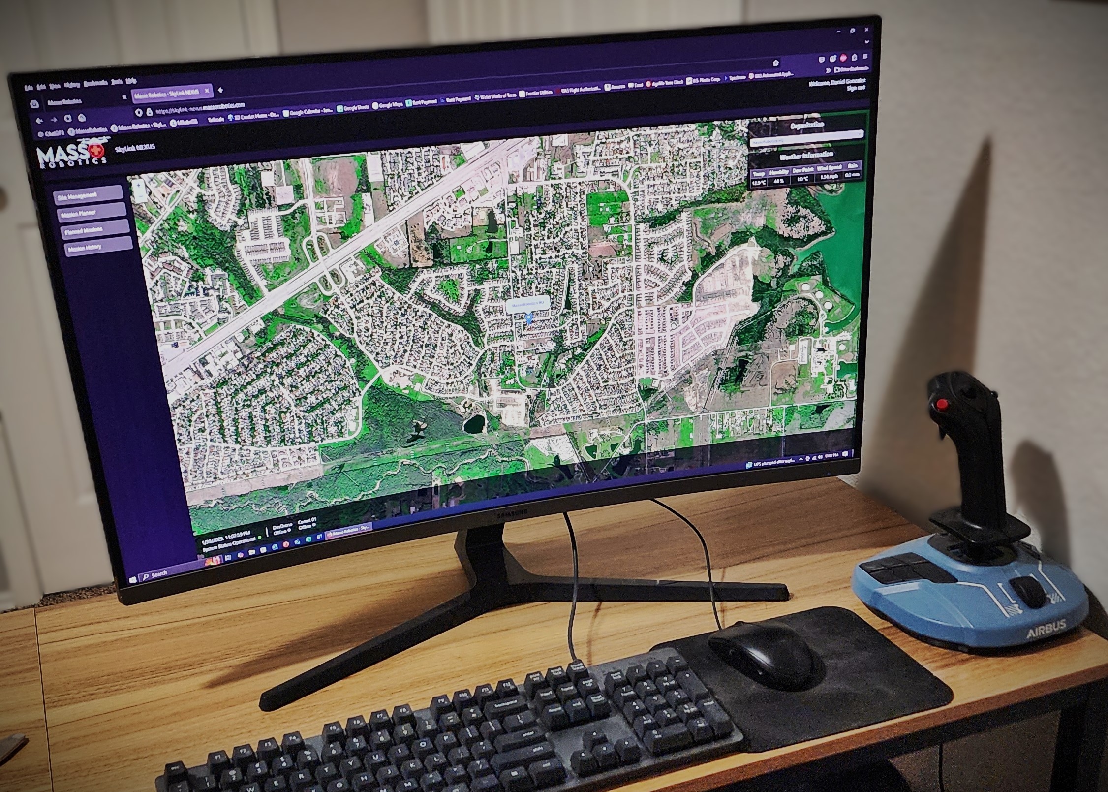
3) Deliver & follow up
You get a web link, a simple PDF recap, and the image set. We can re‑fly weekly or after weather events to track change.
Deliverables & formats
Standard
- • Web map link (view in a browser on any device)
- • One‑page PDF recap (highlights, map snapshots, notes)
- • Geo‑tagged photo set (JPEGs by date/location)
On request
- • Orthophoto export (GeoTIFF)
- • KML/KMZ for Google Earth
- • Basic relative elevation surface (for pooling context)
Note: GeoTIFFs can be large; we’ll advise the easiest way to open and share based on your device/software.
Accuracy & transparency
RGB today: Great for whole‑field context and change detection. Positioning is comparable to smartphone GPS.
Comparisons over time: We re‑fly the same routes so features line up for week‑to‑week checks.
Survey‑grade mapping: For high‑precision measurements, we’ll add RTK/GCP workflows (see “Coming soon”).
What’s next
RTK & GCPs
Ground control and RTK (e.g., Emlid) for survey‑grade alignment and precise geo‑referencing.
Multispectral & NDVI
Vegetation vigor layers to help with early stress detection and targeted scouting.
Thermal
Irrigation checks, leaks, and equipment monitoring from the air.
Ready to fly your field?
Tell us about your crop and timing. We’ll propose a simple, repeatable flight plan.